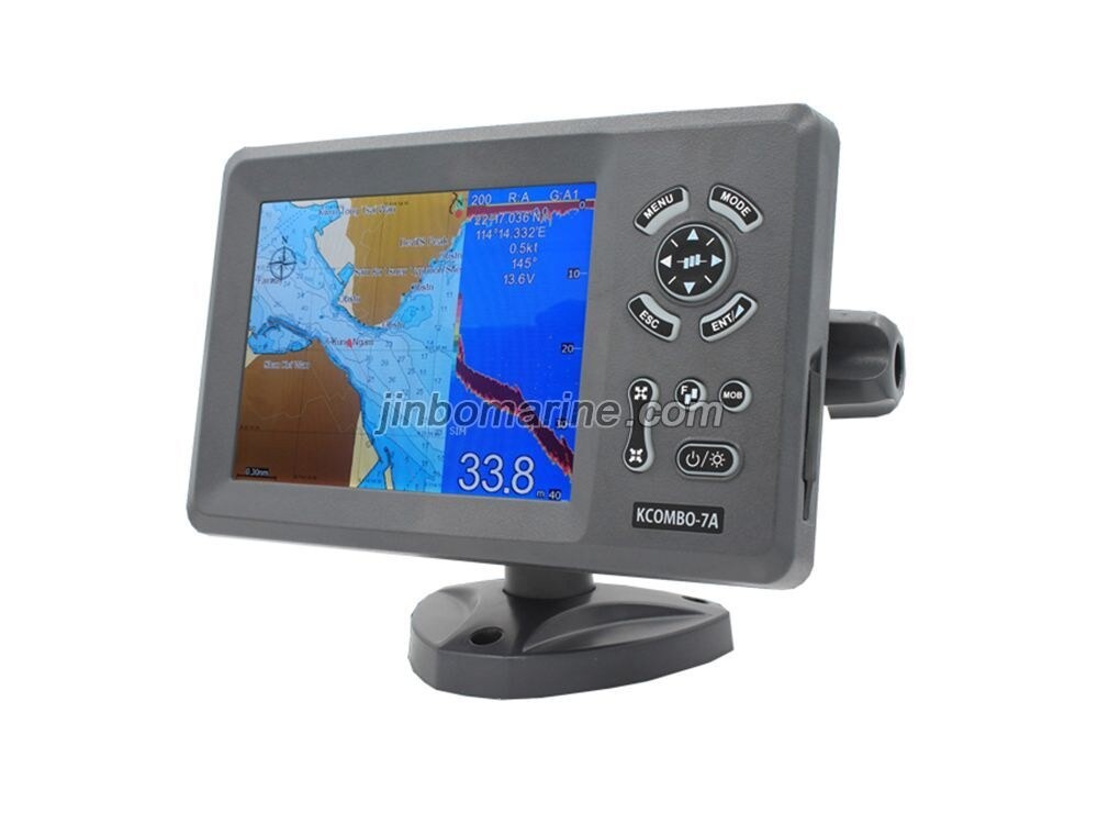
7 inches High resolution LCD,640×480 pixels
Choice of External or Internal GPS Antenna (Specify when ordering)
Built-in Class B AIS Transponder
Easy to use menu operation
sunlight viewable
C-Map NT Max Compatible
Digital Fishfinder Technology
50/200 KHz transom mount transducer(Optional Accessory)
Speed, Depth, water temperature and position
Ingress Protected to IP67
*VHF Antenna Needed for the AIS transmission (not included, optional accessory (KA-156/KA-162-X))
| PLOTTER CHARACTERISTICS | |
| 1. Waypoints/icons | 12,000 user waypoints with name, symbol, |
| 3 system waypoints: MOB,Start,cursor | |
| 10 proximity waypoints | |
| 2. Routes | 30 routes waypoint up to 170 points each, plus MOB and Track Navigation or Goto Track modes |
| 3. Tracks | 8,000 point automatic track log; 10 saved track (up to 8000 track points each)let you retrace your path in both directions |
| 4. Alarms | XTE, Anchor drag, arrival, speed, voltage, proximity waypoint and time,AIS alarm. |
| 5. Pallete | 1. Normal |
| 2. Daylight exposed to sunlight | |
| 3. Night in dark environment | |
| 4. NOAA paperchart colors | |
| 6. Tides | Tide data |
| 7. Projection | Mercator projection |
| 8. Position format | Lat/Lon |
| 9. Basemap | Built-in Onwa K-Chart |
| 10. External Map | SD Cards slot for C-Map MAX |
| 11. User data storage | Internal backup of user settings, or external SD-card |
| 12. Plot Interval | 1s to 99h or 0.01 nm to 9.99nm |
| 13. Plotting scales | 0.01nm to 1,000nm |